Historical Maps & Plans Collection
Records
Results
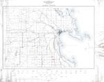
- A survey conducted by the R.S. Scott Engineering Co., Inc of waterfront property in the City of Alpena from 1959. Map details small boat harbor and view of the city from Hitchcock St to Thunder Bay RA survey conducted by the R.S. Scott Engineering Co., Inc of waterfront …
- A map showing farm and forest lands from the North part of Cheboygan County with a zoomed-in view of the city of Cheboygan from 1932, by the Michigan Department of Conservation Land Economic Survey.A map showing farm and forest lands from the North part of …
- A master conservation plan for Cheboygan County made by the Michigan Department of Conservation in 1938.A master conservation plan for Cheboygan County made by the Michigan Department …
- A map showing farm and forest lands from the South part of Cheboygan County in 1932, by the Michigan Department of Conservation Land Economic Survey.A map showing farm and forest lands from the South part of …
- A map showing farm and forest lands from the Central part of Cheboygan County in 1932, by the Michigan Department of Conservation Land Economic Survey.A map showing farm and forest lands from the Central part of …
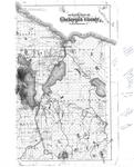
- A copy of a 1902, map from an unknown source showing Cheboygan county with handwritten historical notes on the right side.A copy of a 1902, map from an unknown source showing Cheboygan …
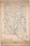
- A map showing farm and forest lands from the North half of Montmorency County by the Michigan Department of Conservation Land Economic Survey in 1930.A map showing farm and forest lands from the North half of …
- A 1930, map showing farm and forest lands from the Southern half of Montmorency County by the Michigan Department of Conservation Land Economic Survey.A 1930, map showing farm and forest lands from the Southern half …
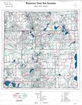
- A 1967 map showing roads and highways within Montmorency County by the Montmorency County Road Commission.A 1967 map showing roads and highways within Montmorency County by the …
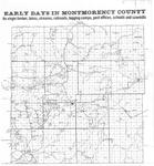
- A copy of a pre-1920s map detailing the early days of Montmorency County, MI with railroad tracks, post offices, schools, and sawmills highlighted.A copy of a pre-1920s map detailing the early days of Montmorency …
- A map of Presque Isle County, Mich drawn by Fredrick Loud for the Presque Isle County Road Commission from an unknown year.A map of Presque Isle County, Mich drawn by Fredrick Loud for …
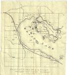
- A map detailing a section of land next to Grand Lake in Presque Isle County, Mich from an unknown source in 1944.A map detailing a section of land next to Grand Lake in …
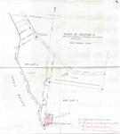
- A map of Grand Point in the township of Krakow Presque Isle County, MI for owners H.A & F.G. Kurrasch. Surveyed by S.J. Davison around 1946.A map of Grand Point in the township of Krakow Presque Isle …
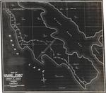
- A map highlighting the northwestern portion of Grand Lake in Presque Isle County, MI from an unknown year.A map highlighting the northwestern portion of Grand Lake in Presque Isle …
- Colored pen marks were made on each page by Alpena Power Company staff to notate the power lines installed.Colored pen marks were made on each page by Alpena Power Company …
- This map details a base map of Alpena County in Michigan as part of the Land Economic Survey project in 1924 by the Michigan Department of Conservation. Below conventional signs culture, there are haThis map details a base map of Alpena County in Michigan as …
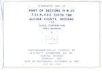
- Photogrammatically compiled topographical map made by R.R Sctt Engineering Company Inc. around 1969 detailing Gustin Township in Alcona County.Photogrammatically compiled topographical map made by R.R Sctt Engineering Company Inc. around …
- - Plan File 4-4E-92- Plan File 4-4E-92
- - Bottom Right Corner has letters W.E.B., possibly draftsperson or publishing entity.- Bottom Right Corner has letters W.E.B., possibly draftsperson or publishing entity.
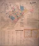
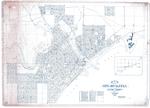
- Map of the City of Alpena from 1925 published by the Indianapolis Blue Print & Supply Co. Index to village additions next to the title.Map of the City of Alpena from 1925 published by the Indianapolis …


